Kāpiti coastal hazard information
Kāpiti Coast District Council have just released (May 2022) a pile of Coastal science information. They say:
We asked independent consultancy Jacobs New Zealand Limited to assess our district for coastal hazards, from Ōtaki in the north to Paekākāriki in the south.
The assessment updates previous coastal hazard assessments of the Kāpiti Coast District shoreline. It identifies areas susceptible to current and future coastal erosion and inundation under various potential magnitudes of sea-level rise over 30, 50, and 100 years. It identifies Council infrastructure, community services and private property vulnerable to those hazards.
The report, known as the Kāpiti Coast Coastal Hazards Susceptibility and Vulnerability Assessment [PDF 11.98 MB], is based on robust scientific and technical data. It has been independently peer reviewed by Beca and Greater Wellington Regional Council.
Considering Waikawa Beach meets KCDC territory a couple of hundred metres north of the Waiorongomai Stream, it’s worth seeing what they have to say. While the effects won’t be identical for us, it’s fair to assume at least some of the information is relevant to Waikawa Beach.
It would be good if Horowhenua District Council would do something similar. Perhaps we could ask them?
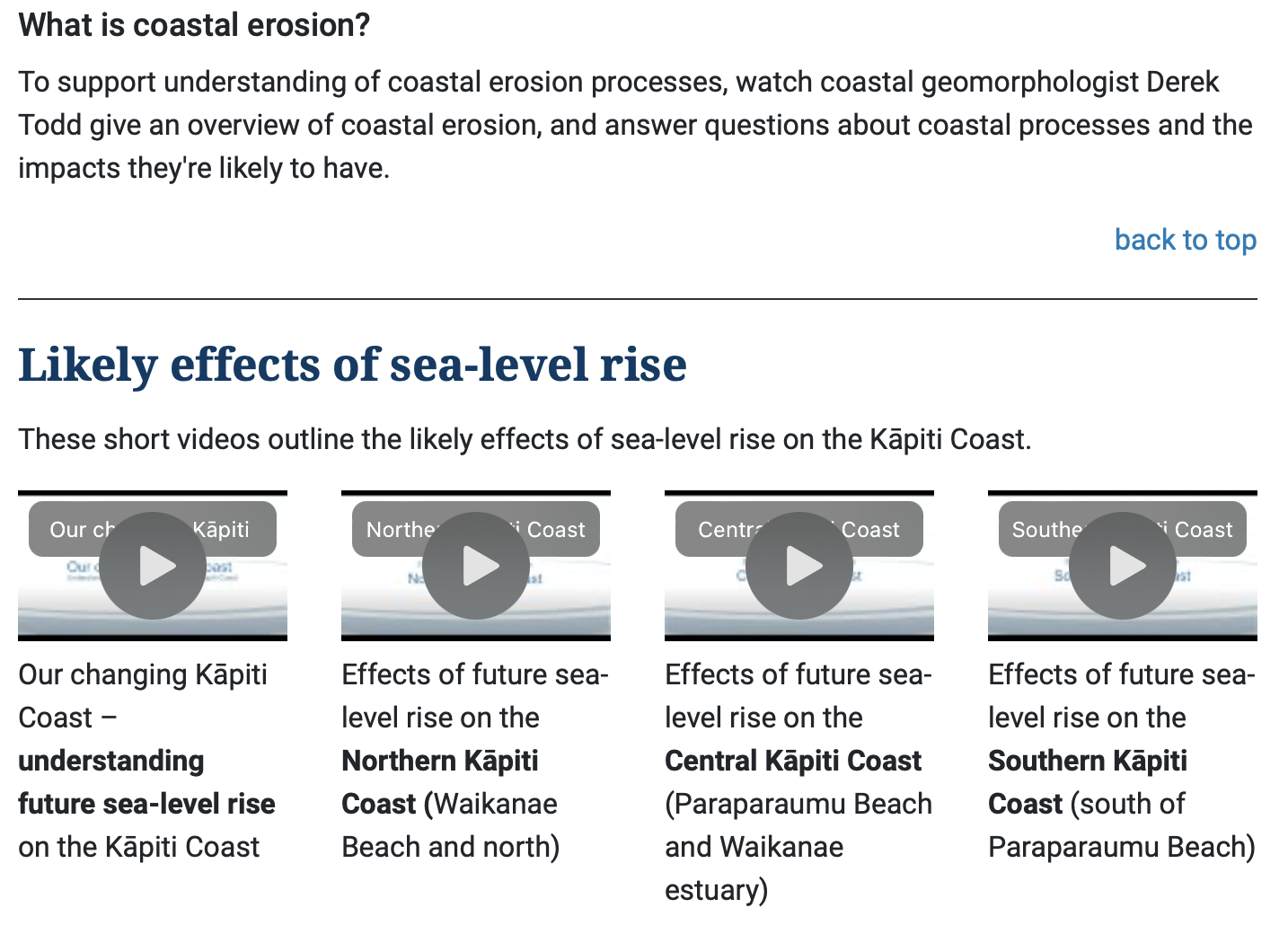
One 5 minute video worth watching is: Effects of future level rise on the Northern Kāpiti Coast. It talks about Ōtaki, which after all, is just next door. It covers specific Sea Level Rise effects in different scenarios.
One point that would have bearing for us is that ‘breaks’ in the dunes are places where sea can have access to the housing or other areas usually protected by the dune area. Examples for us would be the river mouth, the Manga Pirau Street beach access and those places where individuals have weakened the dune barrier by cutting tracks.
Ōtaki Beach coastal hazards goes into detail about that area. These points seem immediately applicable to us:
Sand is supplied to this area by the persistent southward longshore transport of sediments from the four large rivers to the north (Whanganui, Whangaehu, Rangitikei and Manawatu Rivers). The supply rate is greater than the transport losses to the south, resulting in long-term shoreline growth. The dunes provide protection to the Ōtaki Beach settlement, acting as a 30–80 m wide buffer between the beach and Marine Parade. The almost continuous dunes and stopbanks provide good protection from coastal flooding, but there are low areas around accessways where water can run up into the dunes in large events.