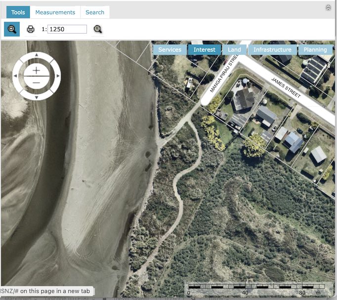
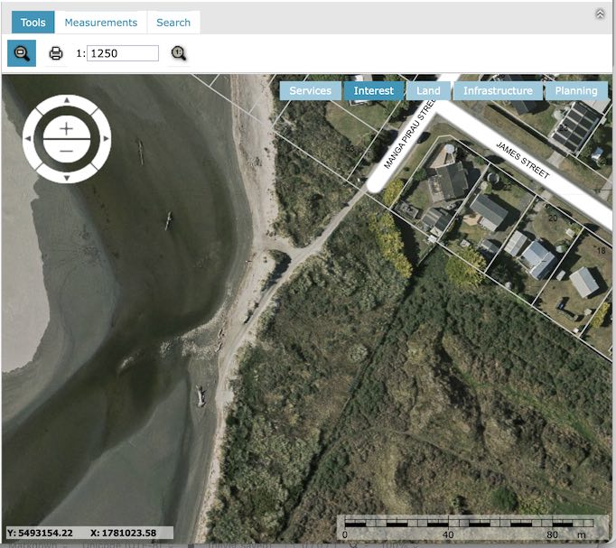
These two images are screenshots from the Horowhenua District Council Mapit site.
The image on the left is from 2016; the other image is from 2019.
The 2019 image clearly shows the very long track that was illegally carved through private land.
Click and slide the blue slider to compare the two images: